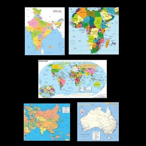
- Showing latest boundaries, communications, important towns etc.
- These are printed in attractive colors on strong offset paper.
- Printed in four colors on thick paper and laminated with thick polyester film (in Eng. Or Hindi)
| Part No. | Type | Size (cm) |
| 9820-A | Indian Political | 70 x 100 |
| 9820-B | World Political | 100 x 70 |
| 9820-C | Asia Political | 100 x 70 |
| 9820-D | Africa Political | 70 x 100 |
| 9820-E | Australia Political | 100 x 70 |
| 9820-F | Europe Political | 100 x 70 |
| 9820-G | North America Political | 70 x 100 |
| 9820-H | South America Political | 70 x 100 |
| 9820-I | Antarctica Political Eng. Only | 70 x 100 |
| 9820-J | Eurasia Political Hindi | 100 x 70 |
| 9820-K | Srilanka Political | 70 x 100 |
| 9820-L | U.S.A. Political | 100 x 70 |
| 9820-M | China Political | 100 x 70 |
| 9820-N | United Kingdom Political | 70 x 100 |
Here are some common uses of political maps:
- Geography Education:
- Political maps are essential tools for teaching and learning geography. They help students understand the spatial distribution of countries and political boundaries.
- Navigation and Travel Planning:
- Travelers use political maps to plan routes, understand border crossings, and get an overview of political divisions when exploring new regions or countries.
- News and Media:
- Political maps are frequently used in news reporting to provide context for international events, conflicts, elections, and geopolitical developments.
- Government and Administration:
- Political maps are critical for government officials, policymakers, and administrators. They assist in planning and decision-making related to administrative divisions, zoning, and resource management.
- Demographics and Statistics:
- Political maps are used to visualize demographic data, economic indicators, and statistical information. They help researchers and policymakers understand regional variations.
- Elections and Voting:
- Political maps are utilized during elections to display electoral districts, voting precincts, and results. They help visualize the political landscape and analyze voting patterns.
- International Relations:
- Political maps are crucial in diplomatic and international relations. They aid in understanding global geopolitics, boundaries, and territorial disputes.
- Business and Market Analysis:
- Companies use political maps for market analysis, site selection, and business planning. They provide insights into political boundaries, market segments, and potential areas for expansion.
- Cartography and GIS (Geographic Information Systems):
- Cartographers and GIS professionals use political maps as a base layer for creating more specialized maps. These maps serve as a foundation for thematic mapping and spatial analysis.
- Humanitarian Aid and Disaster Response:
- Organizations involved in humanitarian aid and disaster response use political maps to plan and coordinate relief efforts. These maps help in identifying affected areas and understanding the political context.
- Tourism and Recreation:
- Travel guides, brochures, and online platforms often use political maps to help tourists navigate destinations, identify landmarks, and plan their trips.
- Environmental Studies:
- Political maps are used in environmental studies to understand the political boundaries of regions affected by environmental issues. They assist in cross-border cooperation for environmental conservation.


Reviews
There are no reviews yet.